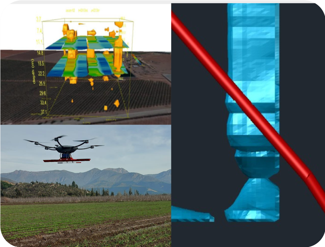

Flights with a high-end drone carrying a GPR (Ground Penetrating Radar) geophysical system, which allows the detection of aquifers (groundwater) and underground bodies such as pipes, rocks, etc. It also makes it possible to detect anomalies such as leaks in ponds, pipes, and tanks. This technology allows for a subsurface measurement of up to 120 meters deep.

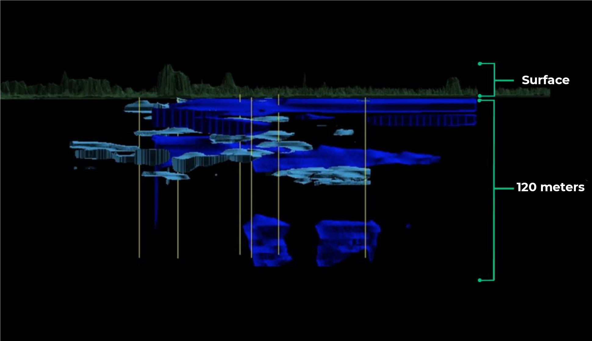
In the attached image, we can observe our results. A 3D model of the identified aquifers with a range of up to 120 meters deep.


